Your Aerial Insight Partners
Elevating Perspectives, Enhancing Insights
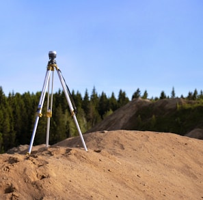
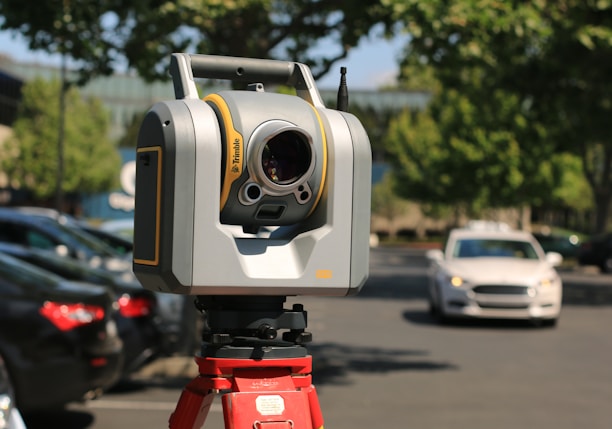
Discover the World from Above with HorizonEye Surveys. We provide professional drone surveying services that deliver unparalleled accuracy and detail.
Precise, Reliable, and Accessible Surveying Solutions


Drone Surveys


Precise Results
Reliable Data


Accessible Solutions
Our state-of-the-art technology and experienced professionals ensure accurate and detailed aerial surveys for your projects.
We provide reliable data that you can trust, helping you make informed decisions for your business.
Our surveying solutions are designed to be accessible and user-friendly, making it easy for you to access the information you need.
Happy Customers
Horizoneye Surveys has exceeded our expectations with their accurate and detailed aerial data. Highly recommended!
The team at Horizoneye Surveys provided us with reliable data that helped us make informed decisions for our project.
Horizoneye Surveys' surveying solutions are easy to use and have been instrumental in our project's success.
About Us
At Horizoneye Surveys, we are committed to providing high-quality aerial data for your surveying needs.


Contact Us
Contact us for surveying information or discussion
info@horizoneyesurveys.com